Sun–Thu 7am–6pm | Sat 7am–2pm GST WhatsApp Us

How We Work: From Enquiry
to DM-Approved Delivery

A clear, repeatable process behind every survey — so you always know what happens next, when, and what you'll receive.

Start Step 1 — Get a Quote WhatsApp Us
Step by Step

The Fortress Survey Process

01
Enquiry
Send Us Your Project Details

Share whatever you have — a plot number, site coordinates, approved drawings, or simply a description of what you need. WhatsApp, email or the website form all work.

Plot number or site location pin
Survey type needed (or ask us to recommend)
Any drawings or previous survey files
Your timeline and any authority deadlines
Takes you: 2 minutes
02
Quotation
Fixed-Price Quote Within 2 Hours

We review the scope against DM/authority requirements and reply with a fixed price, clear deliverables list, and delivery timeline. No hourly billing, no vague estimates, no hidden extras.

One fixed price covering field work, processing and deliverables
Exact list of what you'll receive and in which formats
Committed site date and delivery date
Our response: within 2 hours, 7 days a week
03
Preparation
Pre-Survey Planning & Records Check

Before mobilising, we pull the relevant records and plan the field methodology — so site time is spent measuring, not figuring things out.
DLD title coordinates and affection plan review (boundary work)
Approved drawing review and control datum verification
Utility records request where excavation-related
Equipment calibration check and method selection
Runs in parallel — no delay to your site date
04
Field Work
Site Survey by Licensed Engineers

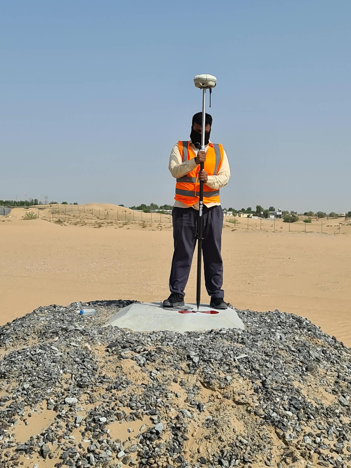
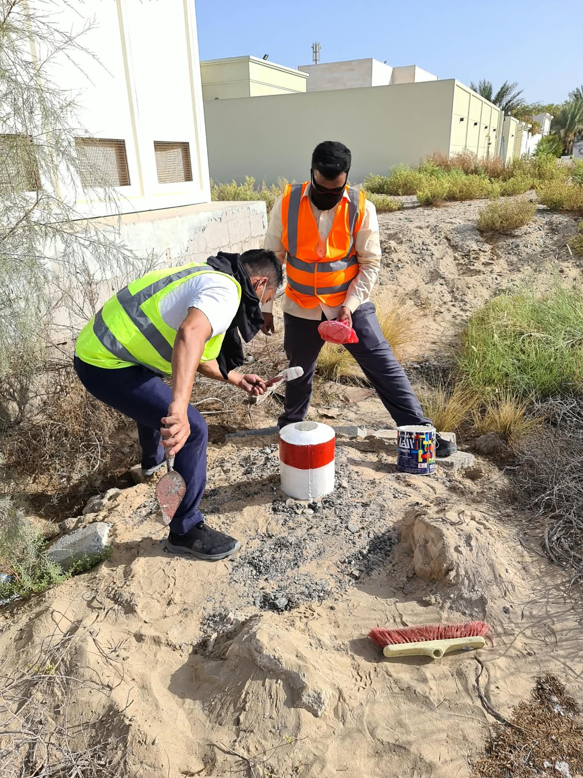
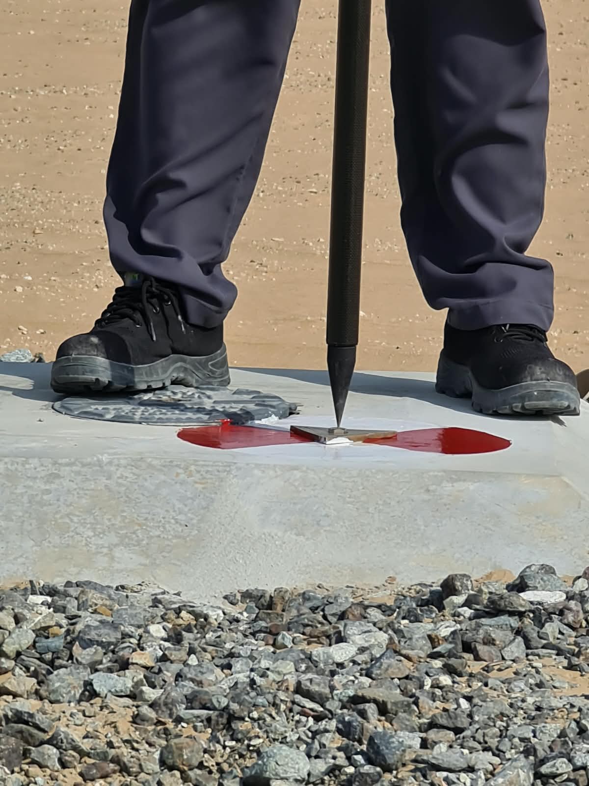
Our team mobilises with survey-grade Leica/Trimble instruments. Control is established or verified first, then measurement proceeds to the accuracy standard the job demands.

Control network established in WGS84 / UTM 40N / EGM2008
Redundant measurements on critical points
Field checks before demobilising — nothing left to chance
Site photos documenting conditions
Mobilisation: within 24 hours of confirmation
05
Processing & QA
Data Processing with Two-Stage Checking

Field data is processed into your deliverables and independently checked before anything leaves our office — the discipline behind our 99% first-submission acceptance rate.

CAD production layered to DM drawing standards
Independent check by a second engineer
Closure and accuracy verification against tolerances
Signed and stamped by our DM-registered surveyor
Delivery: 24–72 hours for most surveys
06
Delivery & Submission
Deliverables Issued + DM e-Submission

You receive everything digitally — and where authority submission is part of the job, we handle the DM portal upload and any reviewer correspondence until acceptance.

DWG + signed PDF + coordinate/point files issued to you
DM e-portal submission handled where required
Reviewer queries answered by us, not left to you
Free clarification support after delivery
Support continues until authority acceptance
Quality System

Three Layers of Quality Control

1 — Instrument Integrity

Calibration-current Leica and Trimble instruments only, with calibration certificates available on request for any project.

2 — Field Redundancy

Critical points measured redundantly and closed back to control before the team leaves site — errors caught in the field, not in the office.

3 — Independent Office Check

Every deliverable is checked by an engineer who didn't produce it, then signed by our DM-registered surveyor before issue.

Ready for Step 1?

Send your site details now and have a fixed-price quote in your inbox within 2 hours.

Request a Quote WhatsApp Us
DM Approved Surveyor
DLD Registered
RERA Compliant
DCAA Drone Permit
Dubai-Only Operations
Call Now WhatsApp