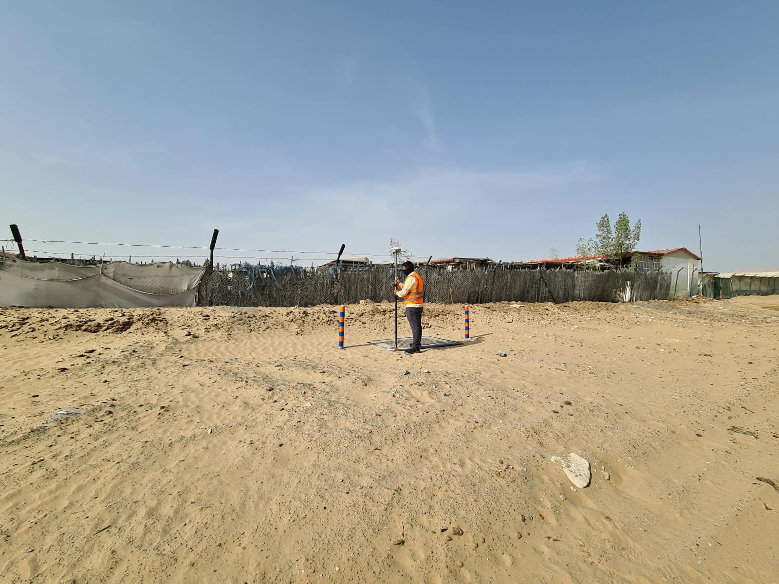
01
Gate Level Computation
Computing gate levels against approved drawings ahead of construction.View Service 02Gate Level Marking
Marking computed gate levels accurately on site.View Service 03Land Demarcation
Marking and defining plot boundaries against approved title records.View Service 04Land Parcels & Boundary
Boundary verification and subdivision for title and planning purposes.View Service 05Topographic Survey
Ground detail, levels and site conditions for design and planning.View Service 06DTM & Contouring
Digital terrain models and contour data derived from field survey.View Service 07Detail Survey
Comprehensive site detail capture supporting design and coordination.View Service 08Control Point Establishment
Reliable reference stations for site-wide measurement and setting-out.View Service 09As-Built Survey
Verification and documentation of completed construction works.View Service 10Building & Roads
Survey support across building and infrastructure construction.Ask Us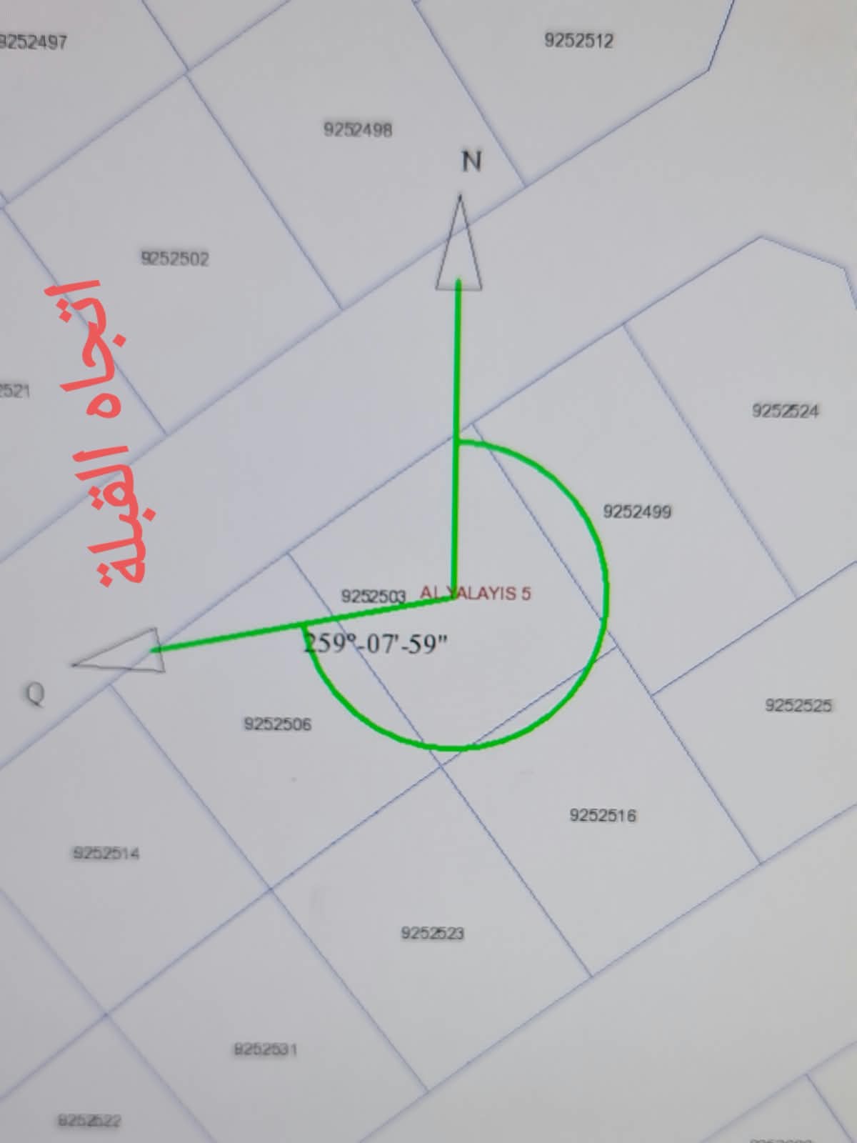
A real deliverable
Boundary plans, bearings and coordinates, exactly as submitted.
An actual annotated plot plan from one of our land demarcation surveys, showing bearing and coordinate data prepared to Dubai Land Department standards.